Charminster: Luckham Gardens and footpath M16
Introduction
The photograph on this page of Charminster: Luckham Gardens and footpath M16 by Chris Downer as part of the Geograph project.
The Geograph project started in 2005 with the aim of publishing, organising and preserving representative images for every square kilometre of Great Britain, Ireland and the Isle of Man.

There are currently over 7.5m images from over 14,400 individuals and you can help contribute to the project by visiting https://www.geograph.org.uk
Charminster: Luckham Gardens and footpath M16
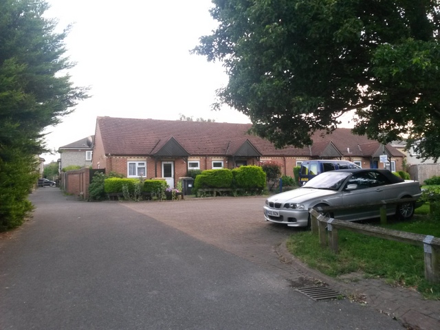
Image: © Chris Downer Taken: 11 Jul 2016
This small infill of a few modern houses is a recent afterthought, before which the public footpath, which we see to the left, would have continued to Luckham Road, just behind us, with much the same appearance. See Image for the view towards us from ahead, with further links to photos along the route, and Image for the view from behind us on Luckham Road.
Images are licensed for reuse under creativecommons.org/licenses/by-sa/2.0
Image Location
Latitude
50.753614
Longitude
-1.85904