Charminster: southern end of footpath M07
Introduction
The photograph on this page of Charminster: southern end of footpath M07 by Chris Downer as part of the Geograph project.
The Geograph project started in 2005 with the aim of publishing, organising and preserving representative images for every square kilometre of Great Britain, Ireland and the Isle of Man.

There are currently over 7.5m images from over 14,400 individuals and you can help contribute to the project by visiting https://www.geograph.org.uk
Charminster: southern end of footpath M07
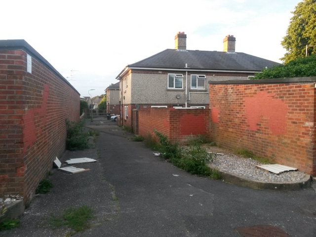
Image: © Chris Downer Taken: 11 Jul 2016
Looking along this public footpath, which heads north from footpath M06, where we are standing, towards the dead end of Charminster Close (in the background) and onward to Luckham Road East. See Image for the next photo on the path ahead, and Image for a photo showing the junction here - each with links to further pictures along the paths.
Images are licensed for reuse under creativecommons.org/licenses/by-sa/2.0
Image Location
Latitude
50.751278
Longitude
-1.861032