Charminster: the dead end of Luckham Road
Introduction
The photograph on this page of Charminster: the dead end of Luckham Road by Chris Downer as part of the Geograph project.
The Geograph project started in 2005 with the aim of publishing, organising and preserving representative images for every square kilometre of Great Britain, Ireland and the Isle of Man.

There are currently over 7.5m images from over 14,400 individuals and you can help contribute to the project by visiting https://www.geograph.org.uk
Charminster: the dead end of Luckham Road
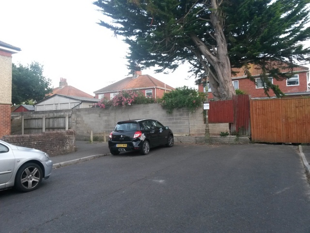
Image: © Chris Downer Taken: 11 Jul 2016
Luckham Road comes to an abrupt dead end, although pedestrians can continue along public footpath M06 from the far corner, to head for Charminster Road. See Image for a view along the path from the corner ahead - and links to further photos along the path (and another which joins it).
Images are licensed for reuse under creativecommons.org/licenses/by-sa/2.0
Image Location
Latitude
50.751459
Longitude
-1.861882