Tyla Lane bus stop and shelter near Castleton
Introduction
The photograph on this page of Tyla Lane bus stop and shelter near Castleton by Jaggery as part of the Geograph project.
The Geograph project started in 2005 with the aim of publishing, organising and preserving representative images for every square kilometre of Great Britain, Ireland and the Isle of Man.

There are currently over 7.5m images from over 14,400 individuals and you can help contribute to the project by visiting https://www.geograph.org.uk
Tyla Lane bus stop and shelter near Castleton
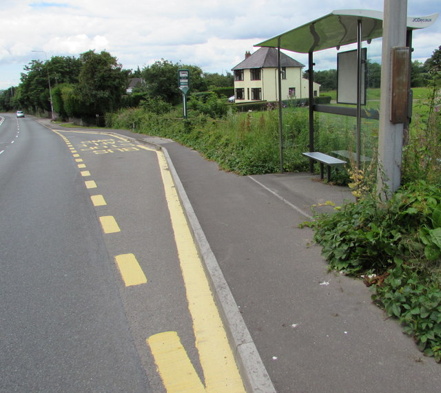
Image: © Jaggery Taken: 14 Jul 2016
Alongside the A48 Newport Road near the corner of Tyla Lane. This side of the road for buses to Castleton and the centre of Newport. The location is in the west of the City of Newport, about 250 metres from the City and County of Cardiff boundary.
Images are licensed for reuse under creativecommons.org/licenses/by-sa/2.0
Image Location
Latitude
51.538207
Longitude
-3.091569