Strouden: footpath K34 from Craigmoor Close
Introduction
The photograph on this page of Strouden: footpath K34 from Craigmoor Close by Chris Downer as part of the Geograph project.
The Geograph project started in 2005 with the aim of publishing, organising and preserving representative images for every square kilometre of Great Britain, Ireland and the Isle of Man.

There are currently over 7.5m images from over 14,400 individuals and you can help contribute to the project by visiting https://www.geograph.org.uk
Strouden: footpath K34 from Craigmoor Close
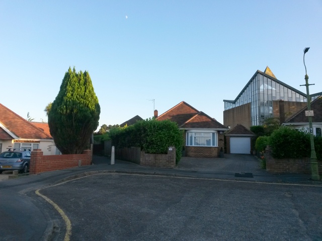
Image: © Chris Downer Taken: 13 Jul 2016
This public footpath heads diagonally from the dead end of Craigmoor Close, heading for the similar dead end in Leydene Close. Behind the bungalows we see the back of Image, to which an offshoot path also connects from midway along. The church is built on steeply sloping ground and the main access from Mount Pleasant Drive is at a higher level. (See Image for a view from down the road behind us.) See Image for the view towards us from along the path, and further links to photos towards Leydene Close and the church.
Images are licensed for reuse under creativecommons.org/licenses/by-sa/2.0
Image Location


Leaflet Map data © OpenStreetMap
Latitude
50.747827
Longitude
-1.834962