Littledown: footpath K28 approaches the subway steps
Introduction
The photograph on this page of Littledown: footpath K28 approaches the subway steps by Chris Downer as part of the Geograph project.
The Geograph project started in 2005 with the aim of publishing, organising and preserving representative images for every square kilometre of Great Britain, Ireland and the Isle of Man.

There are currently over 7.5m images from over 14,400 individuals and you can help contribute to the project by visiting https://www.geograph.org.uk
Littledown: footpath K28 approaches the subway steps
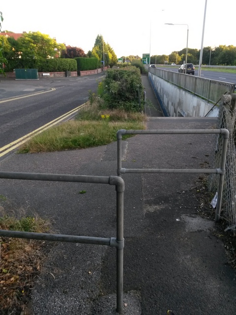
Image: © Chris Downer Taken: 13 Jul 2016
The function of this public right of way, footpath K28, is twofold - firstly, to descend the steps ahead to reach the subway to Queen's Park (the ramp and the actual subway form footpath K27), and secondly, to head behind us to the bus stop on the main A338 Wessex Way. The latter function may well now be obsolete, as I think it is several years since the bus stop was last used. See Image] for the view down the steps from just ahead, and Image for a view of the start of the path, behind us, next to the bus stop.
Images are licensed for reuse under creativecommons.org/licenses/by-sa/2.0
Image Location
Latitude
50.741267
Longitude
-1.838528