Canal Overflow near Ramsden Mills, Golcar
Introduction
The photograph on this page of Canal Overflow near Ramsden Mills, Golcar by Humphrey Bolton as part of the Geograph project.
The Geograph project started in 2005 with the aim of publishing, organising and preserving representative images for every square kilometre of Great Britain, Ireland and the Isle of Man.

There are currently over 7.5m images from over 14,400 individuals and you can help contribute to the project by visiting https://www.geograph.org.uk
Canal Overflow near Ramsden Mills, Golcar
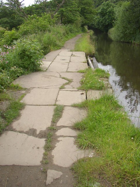
Image: © Humphrey Bolton Taken: 12 Jul 2007
At intervals along canals there is a weir alongside the towpath to reglaute the water level. The flags cover a culvert under the towpath, discharging to the adjacent River Colne.
Images are licensed for reuse under creativecommons.org/licenses/by-sa/2.0
Image Location
Latitude
53.63233
Longitude
-1.84874