Map at St. George's Field, Newland, Witney, Oxon
Introduction
The photograph on this page of Map at St. George's Field, Newland, Witney, Oxon by P L Chadwick as part of the Geograph project.
The Geograph project started in 2005 with the aim of publishing, organising and preserving representative images for every square kilometre of Great Britain, Ireland and the Isle of Man.

There are currently over 7.5m images from over 14,400 individuals and you can help contribute to the project by visiting https://www.geograph.org.uk
Map at St. George's Field, Newland, Witney, Oxon
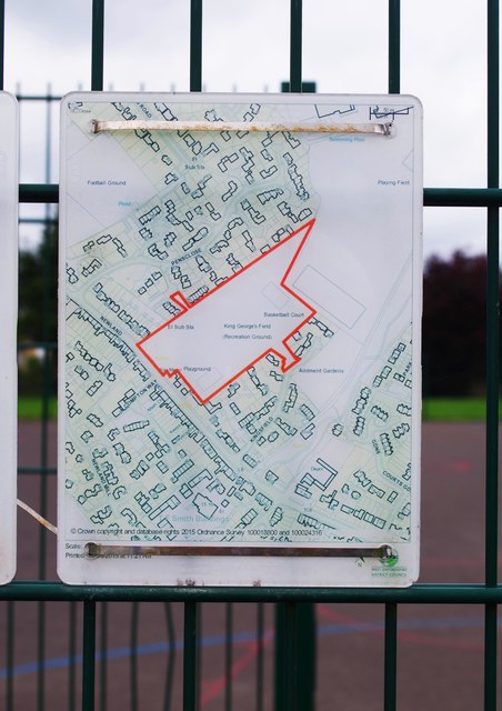
Image: © P L Chadwick Taken: 19 Jun 2016
This map shows the field and is attached to the fencing of the basketball court.
Images are licensed for reuse under creativecommons.org/licenses/by-sa/2.0
Image Location
Latitude
51.789184
Longitude
-1.472655