Houses at Holsworthy Beacon
Introduction
The photograph on this page of Houses at Holsworthy Beacon by Derek Harper as part of the Geograph project.
The Geograph project started in 2005 with the aim of publishing, organising and preserving representative images for every square kilometre of Great Britain, Ireland and the Isle of Man.

There are currently over 7.5m images from over 14,400 individuals and you can help contribute to the project by visiting https://www.geograph.org.uk
Houses at Holsworthy Beacon
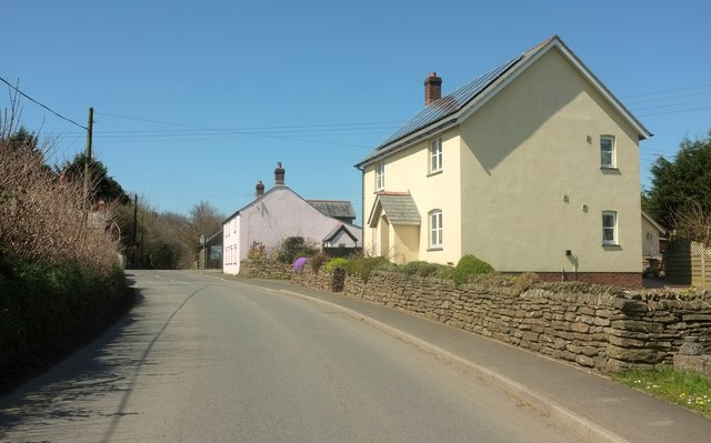
Image: © Derek Harper Taken: 23 Apr 2016
The road from Anvil Corner, followed here by the parish boundary between Holsworthy Hamlets (left) and Milton Damerel. The further house, at the corner with the A388, is The Old Post Office.
Images are licensed for reuse under creativecommons.org/licenses/by-sa/2.0
Image Location


Leaflet Map data © OpenStreetMap
Latitude
50.849952
Longitude
-4.333961