Moresby Tarn, east of Hungriggs
Introduction
The photograph on this page of Moresby Tarn, east of Hungriggs by Christine Johnstone as part of the Geograph project.
The Geograph project started in 2005 with the aim of publishing, organising and preserving representative images for every square kilometre of Great Britain, Ireland and the Isle of Man.

There are currently over 7.5m images from over 14,400 individuals and you can help contribute to the project by visiting https://www.geograph.org.uk
Moresby Tarn, east of Hungriggs
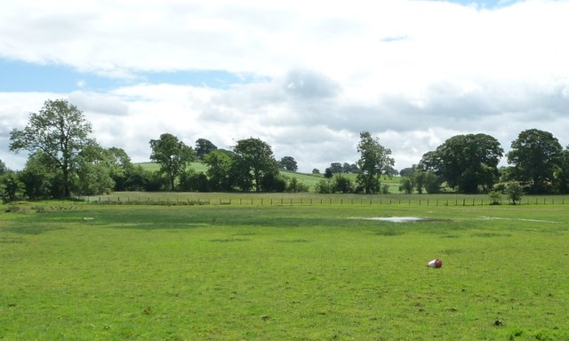
Image: © Christine Johnstone Taken: 8 Jul 2016
The public footpath goes through the farmyard, but a lack of signs meant the photographer kept to east side of the buildings.
Images are licensed for reuse under creativecommons.org/licenses/by-sa/2.0
Image Location
Latitude
54.585861
Longitude
-2.478093