Tamerton Road
Introduction
The photograph on this page of Tamerton Road by Tony Atkin as part of the Geograph project.
The Geograph project started in 2005 with the aim of publishing, organising and preserving representative images for every square kilometre of Great Britain, Ireland and the Isle of Man.

There are currently over 7.5m images from over 14,400 individuals and you can help contribute to the project by visiting https://www.geograph.org.uk
Tamerton Road
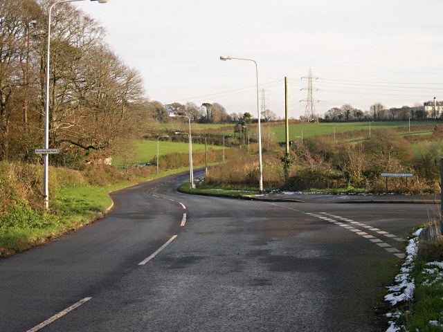
Image: © Tony Atkin Taken: 26 Nov 2005
This used to be a narrow country lane but since industrial estates have been built next to it the Robourgh end of the road has been upgraded.
Images are licensed for reuse under creativecommons.org/licenses/by-sa/2.0
Image Location
Latitude
50.445892
Longitude
-4.114984