A stretch of the Strine Brook
Introduction
The photograph on this page of A stretch of the Strine Brook by Richard Law as part of the Geograph project.
The Geograph project started in 2005 with the aim of publishing, organising and preserving representative images for every square kilometre of Great Britain, Ireland and the Isle of Man.

There are currently over 7.5m images from over 14,400 individuals and you can help contribute to the project by visiting https://www.geograph.org.uk
A stretch of the Strine Brook
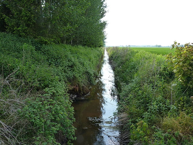
Image: © Richard Law Taken: 29 May 2016
The brook rises in these moors, then flows roughly north-westwards to join the River Roden near Crudgington. It's been co-opted for much of its length, such as here, to act as agricultural drainage for the Weald Moors.
Images are licensed for reuse under creativecommons.org/licenses/by-sa/2.0
Image Location


Leaflet Map data © OpenStreetMap
Latitude
52.740254
Longitude
-2.511406