The Duke's Drive crosses the moors
Introduction
The photograph on this page of The Duke's Drive crosses the moors by Richard Law as part of the Geograph project.
The Geograph project started in 2005 with the aim of publishing, organising and preserving representative images for every square kilometre of Great Britain, Ireland and the Isle of Man.

There are currently over 7.5m images from over 14,400 individuals and you can help contribute to the project by visiting https://www.geograph.org.uk
The Duke's Drive crosses the moors
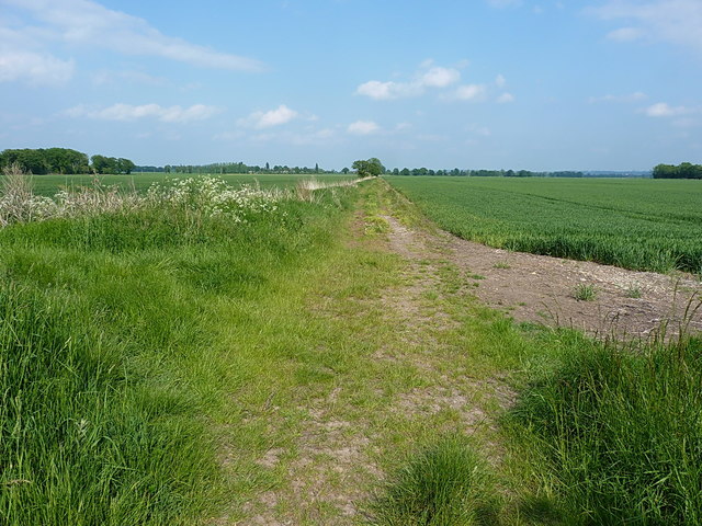
Image: © Richard Law Taken: 29 May 2016
Wrockwardine Moor on the right and Sidney Moor on the left, both of which are now fully converted to agricultural use since the installation in the 18th century of extensive drainage systems. There are no footpaths or rights of way across the moors, but there seems little objection to walkers and cyclists using the Duke's Drive.
Images are licensed for reuse under creativecommons.org/licenses/by-sa/2.0
Image Location


Leaflet Map data © OpenStreetMap
Latitude
52.743405
Longitude
-2.530699