Berkswell Quarry, eastern end
Introduction
The photograph on this page of Berkswell Quarry, eastern end by Simon Jobson as part of the Geograph project.
The Geograph project started in 2005 with the aim of publishing, organising and preserving representative images for every square kilometre of Great Britain, Ireland and the Isle of Man.

There are currently over 7.5m images from over 14,400 individuals and you can help contribute to the project by visiting https://www.geograph.org.uk
Berkswell Quarry, eastern end
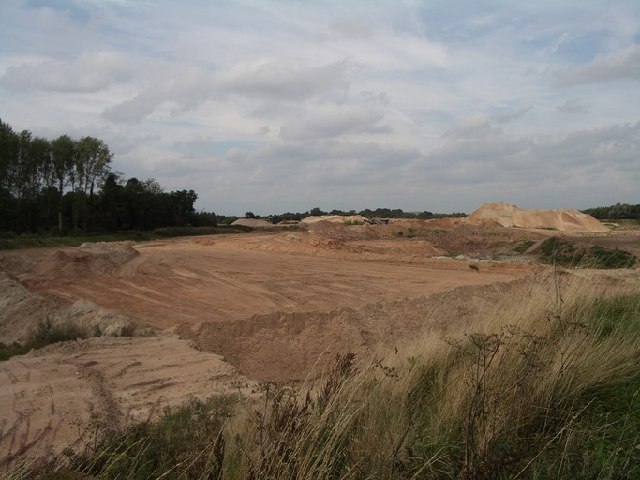
Image: © Simon Jobson Taken: 7 Sep 2005
This part of the quarry working is shown on the current OS map as still being woods; some of the woods remain, visible on the left hand side of the photo. The photo was taken facing north-west from a bend on Mercote Hall Lane.
Images are licensed for reuse under creativecommons.org/licenses/by-sa/2.0
Image Location


Leaflet Map data © OpenStreetMap
Latitude
52.422031
Longitude
-1.670568