Oat Street Chapel
Introduction
The photograph on this page of Oat Street Chapel by Des Blenkinsopp as part of the Geograph project.
The Geograph project started in 2005 with the aim of publishing, organising and preserving representative images for every square kilometre of Great Britain, Ireland and the Isle of Man.

There are currently over 7.5m images from over 14,400 individuals and you can help contribute to the project by visiting https://www.geograph.org.uk
Oat Street Chapel
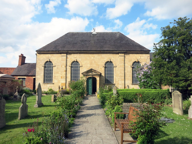
Image: © Des Blenkinsopp Taken: 15 May 2016
The home of the Unitarian Church in Evesham, the chapel was built in 1737. As the church website explains http://www.eveshamunitarians.org.uk/about-us/how-we-began/ it was set back from the street and a bit hidden away in a courtyard as was usual at that time, when any religious groups other than the C of E were regarded with suspicion. A bit about Unitarianism on https://www.unitarian.org.uk/pages/unitarianism-explained
Images are licensed for reuse under creativecommons.org/licenses/by-sa/2.0
Image Location
Latitude
52.093791
Longitude
-1.945363