West Howe: footpaths E10 and E15 come out on Youngs Road
Introduction
The photograph on this page of West Howe: footpaths E10 and E15 come out on Youngs Road by Chris Downer as part of the Geograph project.
The Geograph project started in 2005 with the aim of publishing, organising and preserving representative images for every square kilometre of Great Britain, Ireland and the Isle of Man.

There are currently over 7.5m images from over 14,400 individuals and you can help contribute to the project by visiting https://www.geograph.org.uk
West Howe: footpaths E10 and E15 come out on Youngs Road
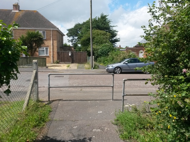
Image: © Chris Downer Taken: 10 Jul 2016
Looking across Youngs Road from the emergence of public footpath E10 from Poole Lane, while another path, footpath E15, comes out almost directly opposite us from Woodfield Road. See Image for the view down E10 from just ahead of us, and Image for the next view on path E15.
Images are licensed for reuse under creativecommons.org/licenses/by-sa/2.0
Image Location
Latitude
50.764007
Longitude
-1.912606