West Howe: footpath E10 heads for Youngs Road
Introduction
The photograph on this page of West Howe: footpath E10 heads for Youngs Road by Chris Downer as part of the Geograph project.
The Geograph project started in 2005 with the aim of publishing, organising and preserving representative images for every square kilometre of Great Britain, Ireland and the Isle of Man.

There are currently over 7.5m images from over 14,400 individuals and you can help contribute to the project by visiting https://www.geograph.org.uk
West Howe: footpath E10 heads for Youngs Road
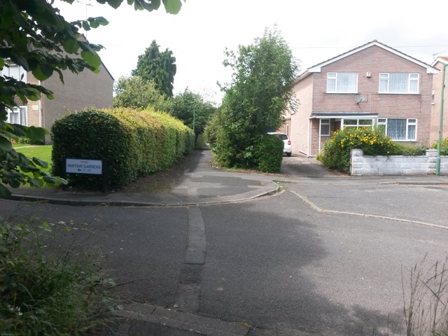
Image: © Chris Downer Taken: 10 Jul 2016
Looking along this path from alongside Mayfair Gardens. The path existed before Mayfair Gardens was built - see Image for more discussion and the view towards us from ahead. See Image for the next view along the path.
Images are licensed for reuse under creativecommons.org/licenses/by-sa/2.0
Image Location
Latitude
50.763737
Longitude
-1.912039