Roundabout on A38
Introduction
The photograph on this page of Roundabout on A38 by Derek Harper as part of the Geograph project.
The Geograph project started in 2005 with the aim of publishing, organising and preserving representative images for every square kilometre of Great Britain, Ireland and the Isle of Man.

There are currently over 7.5m images from over 14,400 individuals and you can help contribute to the project by visiting https://www.geograph.org.uk
Roundabout on A38
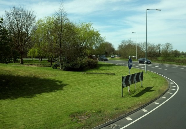
Image: © Derek Harper Taken: 20 Apr 2016
Where the main road meets the B3160 to Edithmnead (where traffic joining in the background), and a slip road to junction 22 of the M5.
Images are licensed for reuse under creativecommons.org/licenses/by-sa/2.0
Image Location


Leaflet Map data © OpenStreetMap
Latitude
51.237925
Longitude
-2.9518