The road up the valley of Nant Tawelan
Introduction
The photograph on this page of The road up the valley of Nant Tawelan by Christine Johnstone as part of the Geograph project.
The Geograph project started in 2005 with the aim of publishing, organising and preserving representative images for every square kilometre of Great Britain, Ireland and the Isle of Man.

There are currently over 7.5m images from over 14,400 individuals and you can help contribute to the project by visiting https://www.geograph.org.uk
The road up the valley of Nant Tawelan
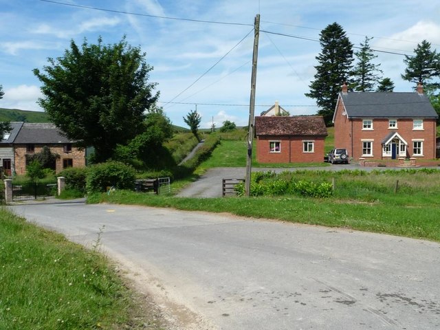
Image: © Christine Johnstone Taken: 23 Jun 2016
Heading west from the B4518 in a hamlet at the north end of Pant y dwr.
Images are licensed for reuse under creativecommons.org/licenses/by-sa/2.0
Image Location
Latitude
52.364379
Longitude
-3.496171