Fields below Wennallt
Introduction
The photograph on this page of Fields below Wennallt by Christine Johnstone as part of the Geograph project.
The Geograph project started in 2005 with the aim of publishing, organising and preserving representative images for every square kilometre of Great Britain, Ireland and the Isle of Man.

There are currently over 7.5m images from over 14,400 individuals and you can help contribute to the project by visiting https://www.geograph.org.uk
Fields below Wennallt
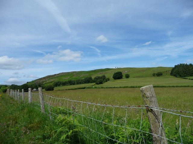
Image: © Christine Johnstone Taken: 23 Jun 2016
The nearest fields are about 310 metres above sea level. The summit of Wennallt is 435 metres. Buildings at Alltlwyd are just visible above the fence.
Images are licensed for reuse under creativecommons.org/licenses/by-sa/2.0
Image Location
Latitude
52.391994
Longitude
-3.509303