Open public convenience at Tal-y-bont
Introduction
The photograph on this page of Open public convenience at Tal-y-bont by John Lucas as part of the Geograph project.
The Geograph project started in 2005 with the aim of publishing, organising and preserving representative images for every square kilometre of Great Britain, Ireland and the Isle of Man.

There are currently over 7.5m images from over 14,400 individuals and you can help contribute to the project by visiting https://www.geograph.org.uk
Open public convenience at Tal-y-bont
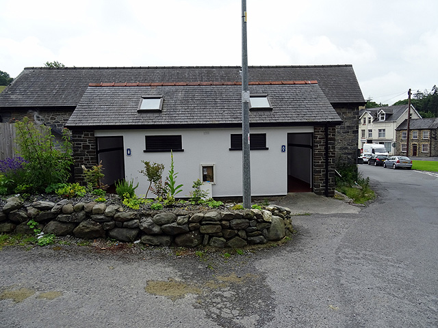
Image: © John Lucas Taken: 8 Jul 2016
A surprise to find that this rural PC remains open ...
Images are licensed for reuse under creativecommons.org/licenses/by-sa/2.0
Image Location
Latitude
52.484096
Longitude
-3.981959