Winton: Boundary Road and bridleway N03 are side by side
Introduction
The photograph on this page of Winton: Boundary Road and bridleway N03 are side by side by Chris Downer as part of the Geograph project.
The Geograph project started in 2005 with the aim of publishing, organising and preserving representative images for every square kilometre of Great Britain, Ireland and the Isle of Man.

There are currently over 7.5m images from over 14,400 individuals and you can help contribute to the project by visiting https://www.geograph.org.uk
Winton: Boundary Road and bridleway N03 are side by side
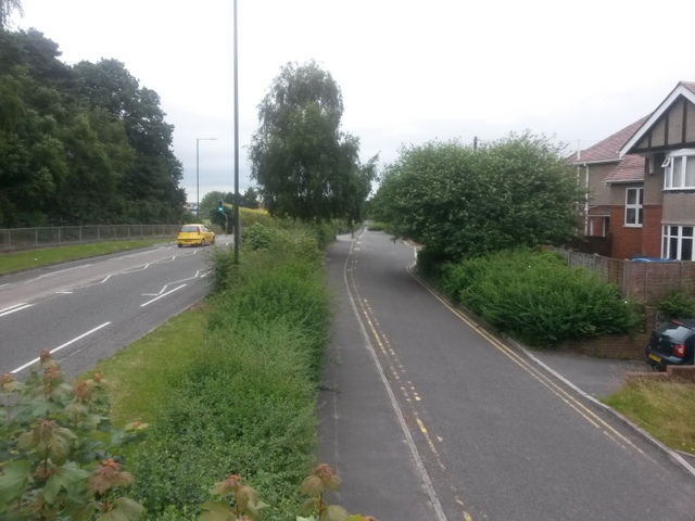
Image: © Chris Downer Taken: 4 Jul 2016
The reason for the parallel routes is that the bridleway, also now a service road (right) is the historical course of Boundary Road; the main A347 was built in the 1980s. See Image for more discussion on this, including the fact that the two routes are not quite actually parallel. See Image for the next view along the route ahead, and Image for the next view behind. These links contain further links to photos all along the course of the bridleway.
Images are licensed for reuse under creativecommons.org/licenses/by-sa/2.0
Image Location
Latitude
50.744384
Longitude
-1.889398