Winton: Boundary Road and bridleway N03 head north
Introduction
The photograph on this page of Winton: Boundary Road and bridleway N03 head north by Chris Downer as part of the Geograph project.
The Geograph project started in 2005 with the aim of publishing, organising and preserving representative images for every square kilometre of Great Britain, Ireland and the Isle of Man.

There are currently over 7.5m images from over 14,400 individuals and you can help contribute to the project by visiting https://www.geograph.org.uk
Winton: Boundary Road and bridleway N03 head north
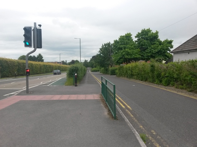
Image: © Chris Downer Taken: 4 Jul 2016
Looking along these two almost parallel routes - they are not quite parallel, though, as they gradually converge. See Image for a view from the other end, about 400m ahead, and more discussion. Meanwhile, see Image for the next view on the bridleway route ahead, and Image for the next one behind us. Each has links to further photos along the route. Alongside us, a pedestrian crossing over the main road has been installed in the last 3 or 4 years.
Images are licensed for reuse under creativecommons.org/licenses/by-sa/2.0
Image Location
Latitude
50.744743
Longitude
-1.889256