Winton: bridleway N03 passes Namu Road
Introduction
The photograph on this page of Winton: bridleway N03 passes Namu Road by Chris Downer as part of the Geograph project.
The Geograph project started in 2005 with the aim of publishing, organising and preserving representative images for every square kilometre of Great Britain, Ireland and the Isle of Man.

There are currently over 7.5m images from over 14,400 individuals and you can help contribute to the project by visiting https://www.geograph.org.uk
Winton: bridleway N03 passes Namu Road
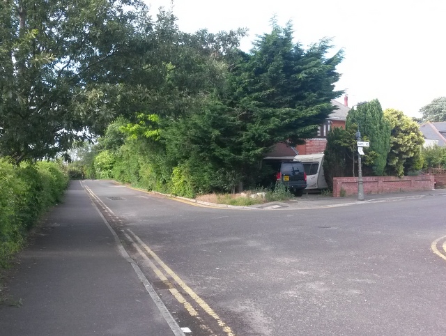
Image: © Chris Downer Taken: 8 Jul 2016
When Namu Road, and the other parallel roads along here, were built, this would have been a dead end with a gravel or dirt track leading ahead and behind us, forming Boundary Road. Today, however, there is a tarmacked road linking each side road with the next, although it is intermittent. The route is still, though, a public bridleway, incorporating the tarmacked sections and the paths in between. See Image for more discussion on the history of Boundary Road. Meanwhile, see Image for the next view along the bridleway ahead, and Image for the next one behind us: each provides further links to photos along the route.
Images are licensed for reuse under creativecommons.org/licenses/by-sa/2.0
Image Location
Latitude
50.746002
Longitude
-1.888402