Throop: Barrowgate Road from Careys Road
Introduction
The photograph on this page of Throop: Barrowgate Road from Careys Road by Chris Downer as part of the Geograph project.
The Geograph project started in 2005 with the aim of publishing, organising and preserving representative images for every square kilometre of Great Britain, Ireland and the Isle of Man.

There are currently over 7.5m images from over 14,400 individuals and you can help contribute to the project by visiting https://www.geograph.org.uk
Throop: Barrowgate Road from Careys Road
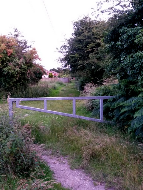
Image: © Chris Downer Taken: 7 Jul 2016
This is a public footpath, number K24, which was a historical lane and which has been left as a rural-feeling path despite running right through the modern housing estate ahead. See Image for the view towards us, and Image for the next view along the path and further links to photos on the route. We view it from Careys Road, itself a public right of way as it is a byway open to all traffic. Barrowgate Road comes out to the immediate right, here: Image
Images are licensed for reuse under creativecommons.org/licenses/by-sa/2.0
Image Location
Latitude
50.759448
Longitude
-1.850516