A4048 going towards Hollybush
Introduction
The photograph on this page of A4048 going towards Hollybush by Jessica Aidley as part of the Geograph project.
The Geograph project started in 2005 with the aim of publishing, organising and preserving representative images for every square kilometre of Great Britain, Ireland and the Isle of Man.

There are currently over 7.5m images from over 14,400 individuals and you can help contribute to the project by visiting https://www.geograph.org.uk
A4048 going towards Hollybush
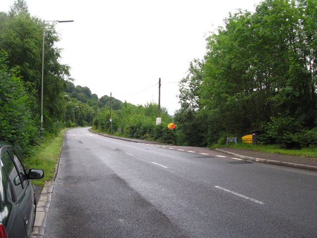
Image: © Jessica Aidley Taken: 22 Jul 2007
The road down to the right goes down to Great Western Cottages. This road runs roughly parallel to the old Sirhowy Railway (now disused) and the Sirhowy river. Many of the rows of cottages are named after either railway themes, or mining topics. Several villages have terraces of houses called 'Railway Cottages', even though the railway is no longer there.
Images are licensed for reuse under creativecommons.org/licenses/by-sa/2.0
Image Location
Latitude
51.715061
Longitude
-3.211913