Muscliff: bridleway M18 from Muscliffe Lane
Introduction
The photograph on this page of Muscliff: bridleway M18 from Muscliffe Lane by Chris Downer as part of the Geograph project.
The Geograph project started in 2005 with the aim of publishing, organising and preserving representative images for every square kilometre of Great Britain, Ireland and the Isle of Man.

There are currently over 7.5m images from over 14,400 individuals and you can help contribute to the project by visiting https://www.geograph.org.uk
Muscliff: bridleway M18 from Muscliffe Lane
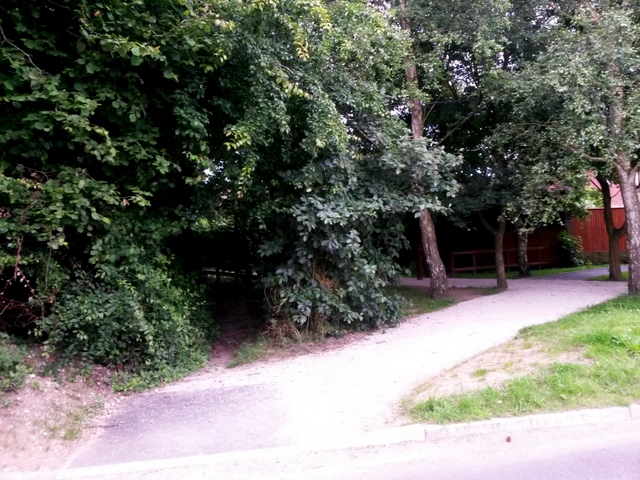
Image: © Chris Downer Taken: 7 Jul 2016
While the pavement clearly leads to an offshoot path, the public bridleway actually heads through the gap in the foliage ahead. The bridleway and the modern path run parallel throughout the 735m journey to Broadway Lane. See Image for the next view along the bridleway, and further links to photos along the whole length of the route.
Images are licensed for reuse under creativecommons.org/licenses/by-sa/2.0
Image Location
Latitude
50.763777
Longitude
-1.860428