Muscliff: looking west along bridleway M18
Introduction
The photograph on this page of Muscliff: looking west along bridleway M18 by Chris Downer as part of the Geograph project.
The Geograph project started in 2005 with the aim of publishing, organising and preserving representative images for every square kilometre of Great Britain, Ireland and the Isle of Man.

There are currently over 7.5m images from over 14,400 individuals and you can help contribute to the project by visiting https://www.geograph.org.uk
Muscliff: looking west along bridleway M18
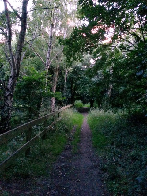
Image: © Chris Downer Taken: 7 Jul 2016
This public bridleway runs between Broadway Lane and Muscliffe Lane, parallel with a modern path. See Image for the start on Muscliffe Lane (behind us) and Image for the next view ahead.
Images are licensed for reuse under creativecommons.org/licenses/by-sa/2.0
Image Location
Latitude
50.760531
Longitude
-1.853207