Converted church, Heads Nook
Introduction
The photograph on this page of Converted church, Heads Nook by Rose and Trev Clough as part of the Geograph project.
The Geograph project started in 2005 with the aim of publishing, organising and preserving representative images for every square kilometre of Great Britain, Ireland and the Isle of Man.

There are currently over 7.5m images from over 14,400 individuals and you can help contribute to the project by visiting https://www.geograph.org.uk
Converted church, Heads Nook
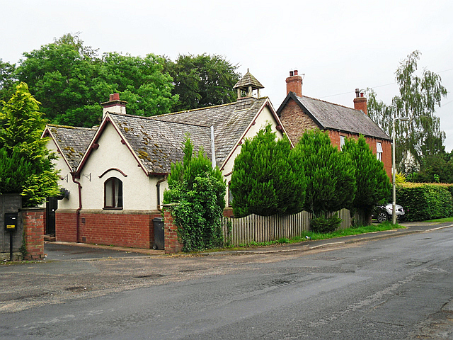
Image: © Rose and Trev Clough Taken: 6 Jul 2016
Looking at some old maps https://www.old-maps.co.uk/#/Map/349670/554900 the building was not there in 1901 but had appeared by 1925, marked as 'Church Room'. It is named on a 1968 map as 'St John's Church (C of E)'.
Images are licensed for reuse under creativecommons.org/licenses/by-sa/2.0
Image Location
Latitude
54.886299
Longitude
-2.786089