Old Tame: Site of the 'Golden Fleece'
Introduction
The photograph on this page of Old Tame: Site of the 'Golden Fleece' by Dr Neil Clifton as part of the Geograph project.
The Geograph project started in 2005 with the aim of publishing, organising and preserving representative images for every square kilometre of Great Britain, Ireland and the Isle of Man.

There are currently over 7.5m images from over 14,400 individuals and you can help contribute to the project by visiting https://www.geograph.org.uk
Old Tame: Site of the 'Golden Fleece'
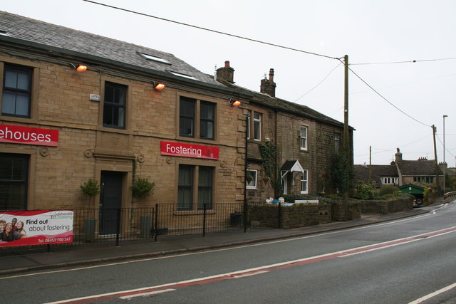
Image: © Dr Neil Clifton Taken: 1 Apr 2016
Old Tame is a moorland hamlet on the A672 between Denshaw and Ripponden. The OS map Has a 'pint pot' symbol, but there is no pub here now, the former 'Golden Fleece' is now closed.
Images are licensed for reuse under creativecommons.org/licenses/by-sa/2.0
Image Location


Leaflet Map data © OpenStreetMap
Latitude
53.583789
Longitude
-2.048449