Ashton Charlestown
Introduction
The photograph on this page of Ashton Charlestown by Dr Neil Clifton as part of the Geograph project.
The Geograph project started in 2005 with the aim of publishing, organising and preserving representative images for every square kilometre of Great Britain, Ireland and the Isle of Man.

There are currently over 7.5m images from over 14,400 individuals and you can help contribute to the project by visiting https://www.geograph.org.uk
Ashton Charlestown
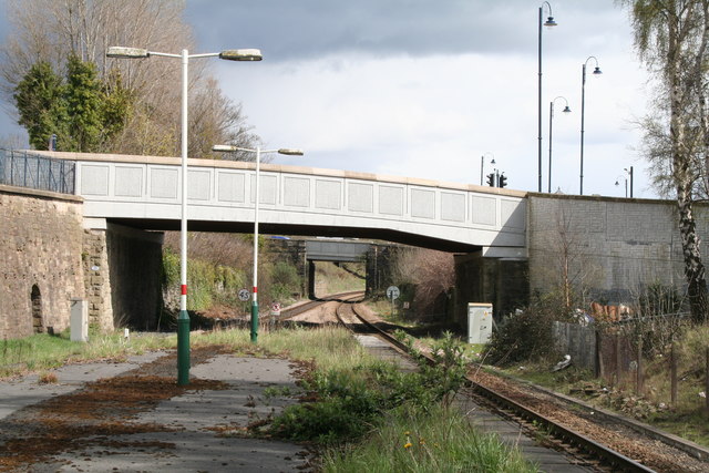
Image: © Dr Neil Clifton Taken: 26 Apr 2016
View east along the railway towards Stalybridge. There is quite a good service to this Cheshire town but it would make more sense to extend the tramline to Stalybridge. After all, the trolleybus used to go there.
Images are licensed for reuse under creativecommons.org/licenses/by-sa/2.0
Image Location
Latitude
53.491182
Longitude
-2.093558