Farmland near Lye Cross
Introduction
The photograph on this page of Farmland near Lye Cross by Derek Harper as part of the Geograph project.
The Geograph project started in 2005 with the aim of publishing, organising and preserving representative images for every square kilometre of Great Britain, Ireland and the Isle of Man.

There are currently over 7.5m images from over 14,400 individuals and you can help contribute to the project by visiting https://www.geograph.org.uk
Farmland near Lye Cross
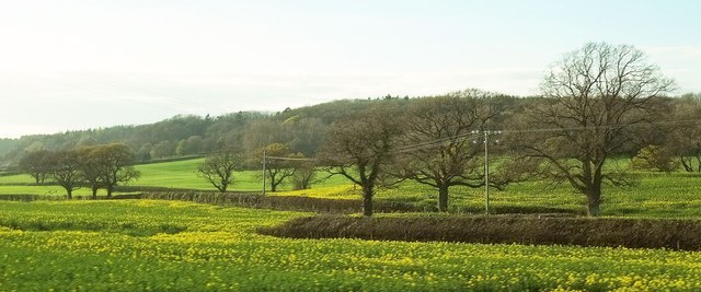
Image: © Derek Harper Taken: 17 Apr 2016
A hedge zigzags between fields of oilseed rape, seen from a little stretch of the A38 followed by the Two Rivers Way. The LDP then crosses this foreground field, away to the left of the camera. The nearest wood up the hill behind is Bottenham Coppice.
Images are licensed for reuse under creativecommons.org/licenses/by-sa/2.0
Image Location
Latitude
51.358088
Longitude
-2.735556