Edge of Martock
Introduction
The photograph on this page of Edge of Martock by Derek Harper as part of the Geograph project.
The Geograph project started in 2005 with the aim of publishing, organising and preserving representative images for every square kilometre of Great Britain, Ireland and the Isle of Man.

There are currently over 7.5m images from over 14,400 individuals and you can help contribute to the project by visiting https://www.geograph.org.uk
Edge of Martock
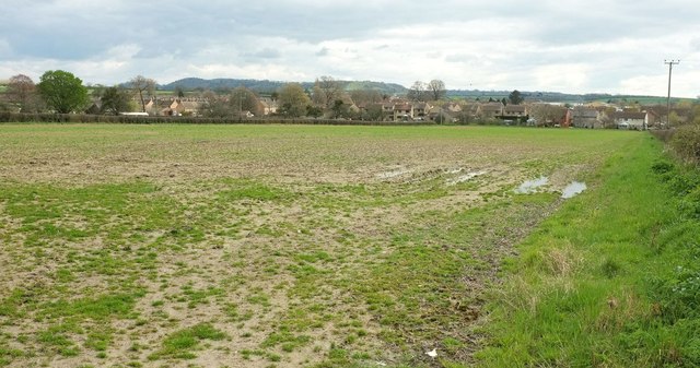
Image: © Derek Harper Taken: 16 Apr 2016
Looking right from the same gateway as Image], with housing north of the site of the former station. The field on the left is an orchard. In the distance is Ham Hill.
Images are licensed for reuse under creativecommons.org/licenses/by-sa/2.0
Image Location
Latitude
50.98138
Longitude
-2.767763