Throop: scattered houses in Careys Road
Introduction
The photograph on this page of Throop: scattered houses in Careys Road by Chris Downer as part of the Geograph project.
The Geograph project started in 2005 with the aim of publishing, organising and preserving representative images for every square kilometre of Great Britain, Ireland and the Isle of Man.

There are currently over 7.5m images from over 14,400 individuals and you can help contribute to the project by visiting https://www.geograph.org.uk
Throop: scattered houses in Careys Road
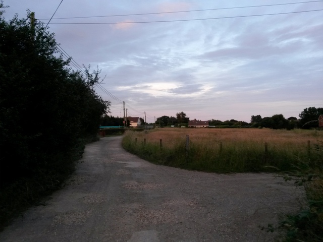
Image: © Chris Downer Taken: 7 Jul 2016
We are just to the north of the vast modern developments of Throop and Muscliff, and from that direction are suddenly in a much more rural setting. This gravel road does a quick, gentle left-right double bend before reaching its few properties. Careys Road is a byway open to all traffic (or B.O.A.T.), number K25, between Broadway Lane (behind us) and Mill Road. See: Image for the next view on the path ahead; Image for a view along the road behind us; and Image for a view along footpath K24, which we see heading right (foreground). See Image for the sign for the B.O.A.T., which is positioned a fair way south of the end of the road.
Images are licensed for reuse under creativecommons.org/licenses/by-sa/2.0
Image Location
Latitude
50.759537
Longitude
-1.849665