Miserden Road, Cheltenham
Introduction
The photograph on this page of Miserden Road, Cheltenham by Jaggery as part of the Geograph project.
The Geograph project started in 2005 with the aim of publishing, organising and preserving representative images for every square kilometre of Great Britain, Ireland and the Isle of Man.

There are currently over 7.5m images from over 14,400 individuals and you can help contribute to the project by visiting https://www.geograph.org.uk
Miserden Road, Cheltenham
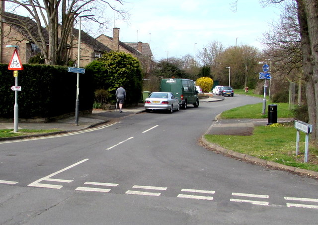
Image: © Jaggery Taken: 3 Apr 2016
Viewed from Benhall Avenue. Miserden Road, parallel with the south side of the A40 Gloucester Road, is part of National Cycle Network Route 41, here towards Gloucester. The Sustrans website in early July 2016 states that National Cycle Network Route 41 is a long distance route that when complete will connect Bristol, Gloucester, Stratford-upon-Avon and Rugby. A warning sign depicting a bicycle is on the left.
Images are licensed for reuse under creativecommons.org/licenses/by-sa/2.0
Image Location
Latitude
51.896849
Longitude
-2.117378