Farmland near Austerfield
Introduction
The photograph on this page of Farmland near Austerfield by Alan Murray-Rust as part of the Geograph project.
The Geograph project started in 2005 with the aim of publishing, organising and preserving representative images for every square kilometre of Great Britain, Ireland and the Isle of Man.

There are currently over 7.5m images from over 14,400 individuals and you can help contribute to the project by visiting https://www.geograph.org.uk
Farmland near Austerfield
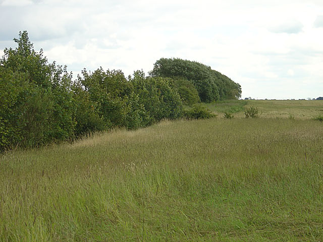
Image: © Alan Murray-Rust Taken: 22 Jul 2007
The nearest field is coarse long grass. It was not clear if this was being left fallow or was an unharvested hay crop.
Images are licensed for reuse under creativecommons.org/licenses/by-sa/2.0
Image Location
Latitude
53.46428
Longitude
-0.987447