Redhill: leaving the woods on Sandy Way
Introduction
The photograph on this page of Redhill: leaving the woods on Sandy Way by Chris Downer as part of the Geograph project.
The Geograph project started in 2005 with the aim of publishing, organising and preserving representative images for every square kilometre of Great Britain, Ireland and the Isle of Man.

There are currently over 7.5m images from over 14,400 individuals and you can help contribute to the project by visiting https://www.geograph.org.uk
Redhill: leaving the woods on Sandy Way
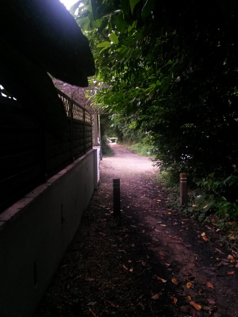
Image: © Chris Downer Taken: 6 Jul 2016
Sandy Way is a lane some 630m in length which forms public bridleway O07 between Wimborne Road and Headswell Avenue. At each end, it is a gravel road with a few dwellings but the majority of it is a very rural feeling track in a steep sided, linear wood. Here, we arrive the last house at this northern end as the rural track road comes to an end and the gravel road takes over alongside the houses (there are only even numbers - 4-12 at this end and 86-88 at the other end). See Image for the view towards us from ahead, and Image for the next view behind us - each giving links to further photos all along the route.
Images are licensed for reuse under creativecommons.org/licenses/by-sa/2.0
Image Location
Latitude
50.76155
Longitude
-1.879575