The rail bridge at Penhelig
Introduction
The photograph on this page of The rail bridge at Penhelig by John Lucas as part of the Geograph project.
The Geograph project started in 2005 with the aim of publishing, organising and preserving representative images for every square kilometre of Great Britain, Ireland and the Isle of Man.

There are currently over 7.5m images from over 14,400 individuals and you can help contribute to the project by visiting https://www.geograph.org.uk
The rail bridge at Penhelig
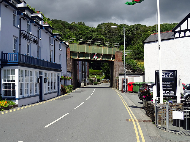
Image: © John Lucas Taken: 5 Jul 2016
The station is beyond the bridge, to the right. The Penhelig Arms on the left looked very inviting after an 8 mile walk over the hills, but with only 10 mins. to my train (and not another one for 2 hours) I had to wait for my pint!
Images are licensed for reuse under creativecommons.org/licenses/by-sa/2.0
Image Location


Leaflet Map data © OpenStreetMap
Latitude
52.545759
Longitude
-4.035914