Roundabout sign, Nutt's Corner (July 2016)
Introduction
The photograph on this page of Roundabout sign, Nutt's Corner (July 2016) by Albert Bridge as part of the Geograph project.
The Geograph project started in 2005 with the aim of publishing, organising and preserving representative images for every square kilometre of Great Britain, Ireland and the Isle of Man.

There are currently over 7.5m images from over 14,400 individuals and you can help contribute to the project by visiting https://www.geograph.org.uk
Roundabout sign, Nutt's Corner (July 2016)
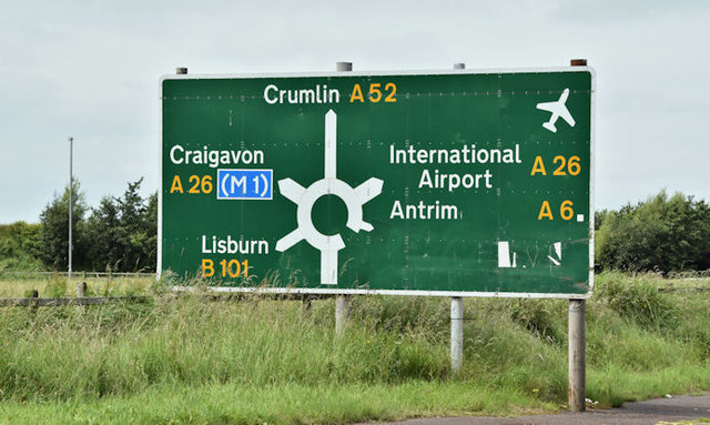
Image: © Albert Bridge Taken: 7 Jul 2016
Most primary roads in NI radiate from Belfast. The A26 which runs (approximately) north – south from Coleraine to Banbridge Image https://en.wikipedia.org/wiki/A26_road_(Northern_Ireland) is a notable exception. Nutt’s Corner is where it meets the road from Belfast to Crumlin (also a secondary route to Belfast International (Aldergrove) Airport) and lesser roads to Lisburn (via Dundrod) and Loan Ends. This sign is on the Belfast Road Image
Images are licensed for reuse under creativecommons.org/licenses/by-sa/2.0
Image Location
Latitude
54.634956
Longitude
-6.145466