Road to Coat
Introduction
The photograph on this page of Road to Coat by Derek Harper as part of the Geograph project.
The Geograph project started in 2005 with the aim of publishing, organising and preserving representative images for every square kilometre of Great Britain, Ireland and the Isle of Man.

There are currently over 7.5m images from over 14,400 individuals and you can help contribute to the project by visiting https://www.geograph.org.uk
Road to Coat
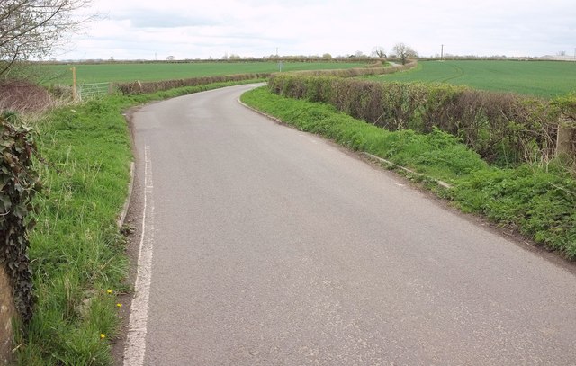
Image: © Derek Harper Taken: 16 Apr 2016
From the bridge over the Parrett at Gawbridge Bow. The River Parrett Trail leaves the road to the right here - see Image On the left is a footpath sign pointing along footpath Y 16/28, which follows the river downstream on the other bank from the Trail.
Images are licensed for reuse under creativecommons.org/licenses/by-sa/2.0
Image Location
Latitude
50.975814
Longitude
-2.79331