Junction at Gawbridge Bow
Introduction
The photograph on this page of Junction at Gawbridge Bow by Derek Harper as part of the Geograph project.
The Geograph project started in 2005 with the aim of publishing, organising and preserving representative images for every square kilometre of Great Britain, Ireland and the Isle of Man.

There are currently over 7.5m images from over 14,400 individuals and you can help contribute to the project by visiting https://www.geograph.org.uk
Junction at Gawbridge Bow
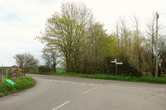
Image: © Derek Harper Taken: 16 Apr 2016
Close to the point where Image was taken, behind the camera. The two LDPs diverge here; the River Parrett Trail turns left and almost immediately right once across the river, while the Macmillan Way Link turns right along the road for a while.
Images are licensed for reuse under creativecommons.org/licenses/by-sa/2.0
Image Location
Latitude
50.975903
Longitude
-2.793454