The path to North Gare Sands
Introduction
The photograph on this page of The path to North Gare Sands by Oliver Dixon as part of the Geograph project.
The Geograph project started in 2005 with the aim of publishing, organising and preserving representative images for every square kilometre of Great Britain, Ireland and the Isle of Man.

There are currently over 7.5m images from over 14,400 individuals and you can help contribute to the project by visiting https://www.geograph.org.uk
The path to North Gare Sands
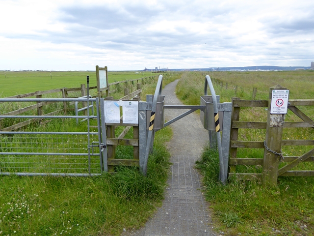
Image: © Oliver Dixon Taken: 6 Jul 2016
Access control at the turn off the A179 onto the path to North Gare Sands. The path carries a spur of National Cycle Network route 14.
Images are licensed for reuse under creativecommons.org/licenses/by-sa/2.0
Image Location
Latitude
54.653549
Longitude
-1.187193