Devil's Bridge from the A370
Introduction
The photograph on this page of Devil's Bridge from the A370 by David P Howard as part of the Geograph project.
The Geograph project started in 2005 with the aim of publishing, organising and preserving representative images for every square kilometre of Great Britain, Ireland and the Isle of Man.

There are currently over 7.5m images from over 14,400 individuals and you can help contribute to the project by visiting https://www.geograph.org.uk
Devil's Bridge from the A370
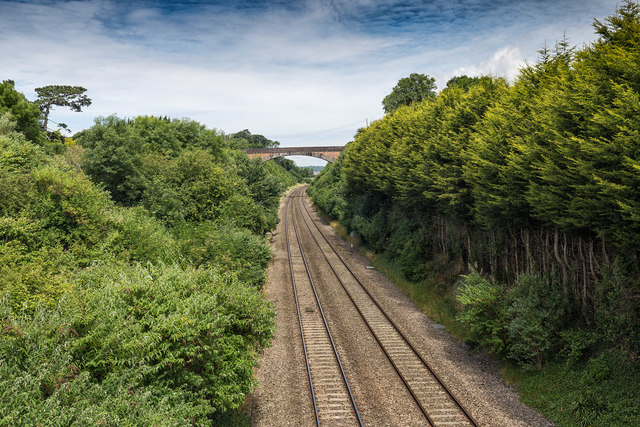
Image: © David P Howard Taken: 6 Jul 2016
Looking NNE from the A370 Bridgwater Road bridge over the railway towards Devil's Bridge which carries Bleadon Hill over the railway. Compare with a similar photograph taken in February 2004. Image]
Images are licensed for reuse under creativecommons.org/licenses/by-sa/2.0
Image Location
Latitude
51.317826
Longitude
-2.967515