High Street, Wimbledon
Introduction
The photograph on this page of High Street, Wimbledon by Stephen McKay as part of the Geograph project.
The Geograph project started in 2005 with the aim of publishing, organising and preserving representative images for every square kilometre of Great Britain, Ireland and the Isle of Man.

There are currently over 7.5m images from over 14,400 individuals and you can help contribute to the project by visiting https://www.geograph.org.uk
High Street, Wimbledon
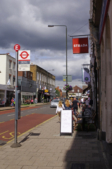
Image: © Stephen McKay Taken: 5 Jul 2016
The High Street forms the heart of Wimbledon village, the original centre, as distinct from the newer area at the bottom of Wimbledon Hill which grew up around the railway station. Strada is an Italian restaurant.
Images are licensed for reuse under creativecommons.org/licenses/by-sa/2.0
Image Location
Latitude
51.424609
Longitude
-0.216321