Cycleway and footpath south of Billingham
Introduction
The photograph on this page of Cycleway and footpath south of Billingham by Oliver Dixon as part of the Geograph project.
The Geograph project started in 2005 with the aim of publishing, organising and preserving representative images for every square kilometre of Great Britain, Ireland and the Isle of Man.

There are currently over 7.5m images from over 14,400 individuals and you can help contribute to the project by visiting https://www.geograph.org.uk
Cycleway and footpath south of Billingham
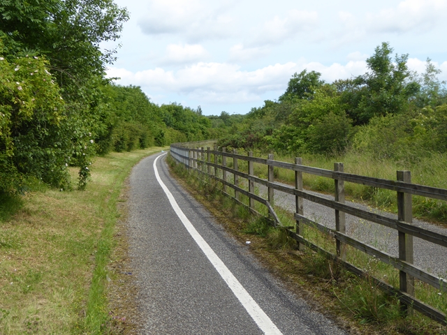
Image: © Oliver Dixon Taken: 6 Jul 2016
Here the cycleway and footway between Middlesbrough and Billingham diverges from the A19 and follows the line of an old road. The road to the right of the fence is private.
Images are licensed for reuse under creativecommons.org/licenses/by-sa/2.0
Image Location
Latitude
54.588469
Longitude
-1.300061