New Inn Street, Netherbury
Introduction
The photograph on this page of New Inn Street, Netherbury by Derek Harper as part of the Geograph project.
The Geograph project started in 2005 with the aim of publishing, organising and preserving representative images for every square kilometre of Great Britain, Ireland and the Isle of Man.

There are currently over 7.5m images from over 14,400 individuals and you can help contribute to the project by visiting https://www.geograph.org.uk
New Inn Street, Netherbury
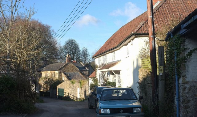
Image: © Derek Harper Taken: 12 Apr 2016
An intriguing lane curving around to the foot of the steep churchyard. Ahead left of centre is Stonehouse, a listed building with prominent mullions, described at https://www.historicengland.org.uk/listing/the-list/list-entry/1215924 . A better photo is at Image
Images are licensed for reuse under creativecommons.org/licenses/by-sa/2.0
Image Location
Latitude
50.790832
Longitude
-2.753286