Moordown: along Rose Gardens from Rosebud Avenue
Introduction
The photograph on this page of Moordown: along Rose Gardens from Rosebud Avenue by Chris Downer as part of the Geograph project.
The Geograph project started in 2005 with the aim of publishing, organising and preserving representative images for every square kilometre of Great Britain, Ireland and the Isle of Man.

There are currently over 7.5m images from over 14,400 individuals and you can help contribute to the project by visiting https://www.geograph.org.uk
Moordown: along Rose Gardens from Rosebud Avenue
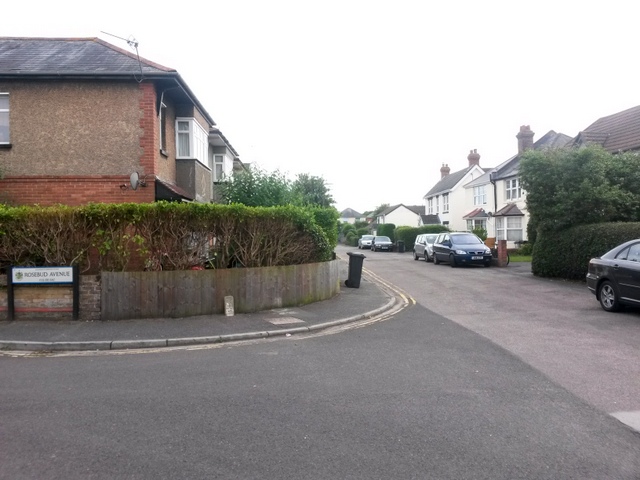
Image: © Chris Downer Taken: 6 Jul 2016
The western end of Rose Gardens, from this junction, forms public footpath M02 and links with footpath M01 at its dead end ahead. The houses on the right have an original, cottagey feel while more standard 20th-century houses are along the left. See Image for the next view along the road ahead.
Images are licensed for reuse under creativecommons.org/licenses/by-sa/2.0
Image Location
Latitude
50.754439
Longitude
-1.873214