Westfield Farm near Hillesden
Introduction
The photograph on this page of Westfield Farm near Hillesden by Andy Gryce as part of the Geograph project.
The Geograph project started in 2005 with the aim of publishing, organising and preserving representative images for every square kilometre of Great Britain, Ireland and the Isle of Man.

There are currently over 7.5m images from over 14,400 individuals and you can help contribute to the project by visiting https://www.geograph.org.uk
Westfield Farm near Hillesden
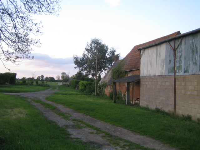
Image: © Andy Gryce Taken: 19 May 2007
This is an alternative view of Westfield Farm looking north, see Image, from the no-through-road to Manor Farm, that runs east off the Buckingham to Edgcott C road.
Images are licensed for reuse under creativecommons.org/licenses/by-sa/2.0
Image Location
Latitude
51.950332
Longitude
-1.025965