Inn for a Penny and Ouse Bridge
Introduction
The photograph on this page of Inn for a Penny and Ouse Bridge by Alan Murray-Rust as part of the Geograph project.
The Geograph project started in 2005 with the aim of publishing, organising and preserving representative images for every square kilometre of Great Britain, Ireland and the Isle of Man.

There are currently over 7.5m images from over 14,400 individuals and you can help contribute to the project by visiting https://www.geograph.org.uk
Inn for a Penny and Ouse Bridge
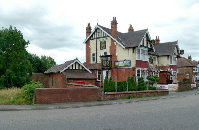
Image: © Alan Murray-Rust Taken: 4 Jul 2016
The pub was originally the Royal Oak, but has been the Inn for a Penny for as long as I can remember. Ouse Bridge is a rather grand name for what is a culvert over a rather small stream, the Ouse Dyke. There is a bench mark http://www.geograph.org.uk/photo/5024112 at the right hand end of the parapet.
Images are licensed for reuse under creativecommons.org/licenses/by-sa/2.0
Image Location
Latitude
52.971038
Longitude
-1.075401