Netherfield Baptist Chapel
Introduction
The photograph on this page of Netherfield Baptist Chapel by Alan Murray-Rust as part of the Geograph project.
The Geograph project started in 2005 with the aim of publishing, organising and preserving representative images for every square kilometre of Great Britain, Ireland and the Isle of Man.

There are currently over 7.5m images from over 14,400 individuals and you can help contribute to the project by visiting https://www.geograph.org.uk
Netherfield Baptist Chapel
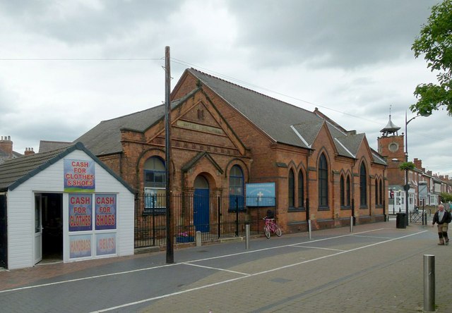
Image: © Alan Murray-Rust Taken: 4 Jul 2016
Dated 1892. The smaller building appears to have been the actual chapel, the larger being a hall.
Images are licensed for reuse under creativecommons.org/licenses/by-sa/2.0
Image Location
Latitude
52.963956
Longitude
-1.077935